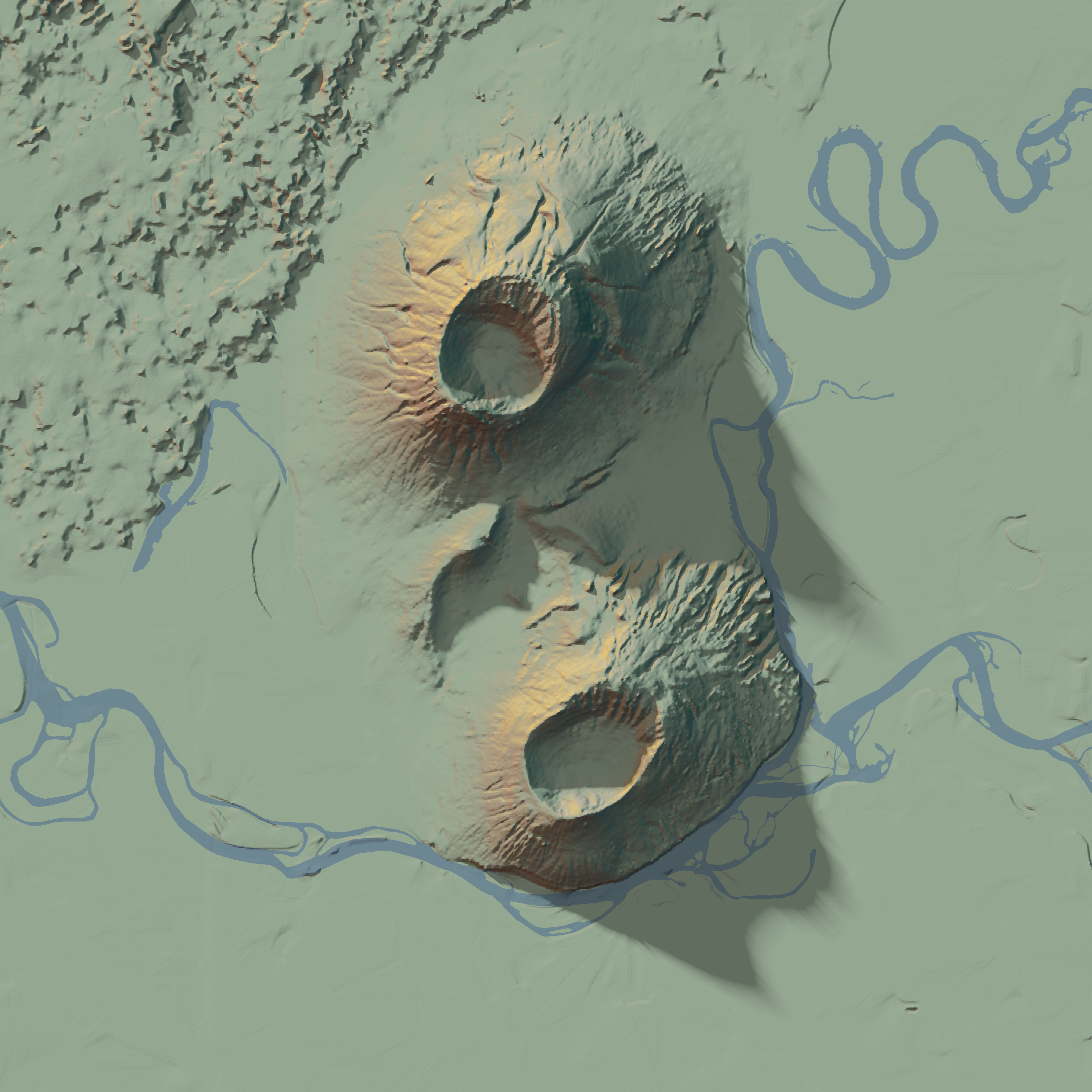
A map of the Menan Buttes—a couple of volcanic cones in Idaho—mapped with the rayshader package in R.
The R code to produce the map is available here.
The elevation data comes from the USGS’s 3D Elevation Program via terrainr::get_tiles(), the river data comes from OpenStreetMap.